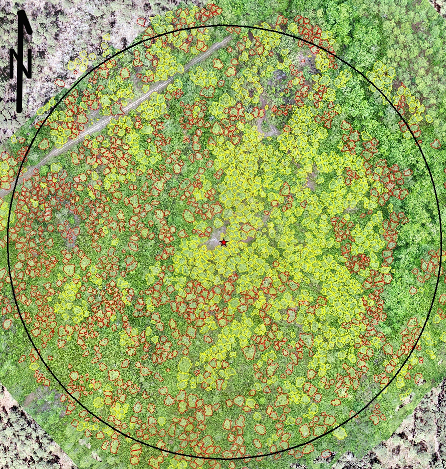
New Publication : Mapping natural forest stands with low cost drones.

Contents
We used a low cost hobby drone to produce high resolution aerial photographs of a 12 ha mature longleaf pine (Pinus palustris) stand. The photos were combined into orthophoto mosaics and digital surface models to produce repeatable crown maps. Repeated flights allowed the use of tree phenology to separate longleaf from loblolly (Pinus taeda) and pond (Pinus serotina) pines, as well some hardwood species.
Reference
- Williams, T.M., B. Williams, B. Song, T.L. O'Halloran, J.D. Forsythe. 2022. Mapping natural forest stands with low-cost drones. Mathematical and Computational Forestry & Natural-Resource Sciences: Vol. 14: Iss.1, pp 22-42.